The Latest Buzz
Consistent Imagery: The Key to Superior Map Data for Businesses

Hivemapper delivers standardized, high-resolution road imagery, enhancing ease and efficiency for map customers.
Companies are seeking ever more consistent and reliable map imagery to train their AI and computer vision systems. Many crowdsourced approaches to mapping that once seemed promising have proved to be flawed, producing images that are too varied in quality and format. Dealing with images from cameras with an array of different attributes creates headaches for customers, hampering efficiency and performance.
These pitfalls have plagued various map initiatives, from open-source map projects to smartphone mapping apps. Their varied and inconsistent imagery is difficult for AI systems and various platforms and applications to process and integrate. Consistency and reliability are key for businesses that use map data to develop location-based services. To develop autonomous vehicles, high-definition maps, or related products, you need high-quality street-level imagery that meets particular standards.
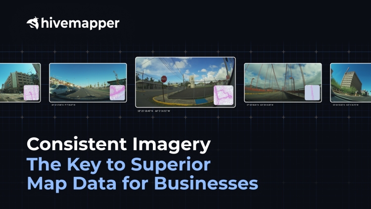
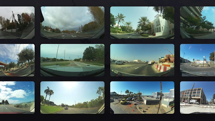
Hivemapper’s crowdsourced mapping network uses dedicated dashcams that are designed specifically for mapping. As map contributors drive, they capture high-quality imagery of roadways. Purpose-built dashcam hardware ensures that our high-resolution imagery adheres to consistent standards, supporting its smooth integration across various platforms and applications without additional adjustments. View samples of our front-facing imagery here, and samples of our side-facing imagery here.
Consistent & Reliable
For companies consuming large amounts of street-level imagery, standardization isn’t just a preference — it’s a necessity. Hivemapper’s standardized imagery ensures the reliability, efficiency, and adaptability of critical systems and applications.
1. Use our Map Image API to easily ingest our network’s street-level imagery into your systems.
2. Use our Map Features API to access road features like traffic lights, street signs, and speed limits.
3. Use our Bursts feature to incentivize the Hivemapper contributor community to collect imagery in specific areas and get fresh input for your business needs.
4. Use Scout, our location monitoring tool, to receive alerts when new imagery or changes are captured in key locations.
Computational Efficiency
Problem: Different cameras capture images with diverse resolutions, aspect ratios, color profiles, contrasts, and distortions, creating a messy dataset riddled with inconsistencies. Computer vision algorithms would have to account for endless edge cases and discrepancies, slowing processing. This forces engineers to waste time wrangling messy data rather than innovating.
Solution: With Hivemapper, customers tap into a standardized source of imagery that they tailor to their needs. Standardized imagery ensures that all images fed into their systems are of consistent quality. This drastically reduces the margin of error, making processing more streamlined. When computer vision systems ingest images of consistent quality and format, they operate more efficiently.
Cost Efficiency
Problem: Handling non-standardized imagery often requires additional software and tools for data normalization. Apart from increasing computational costs, such complexity also demands additional human resources for data cleaning and validation. Adopting standardized imagery from the outset eliminates these additional costs, optimizing the entire data ingestion and processing pipeline.
Solution: Hivemapper supports businesses as their needs scale, letting them integrate new data without compromising on accuracy or spending additional resources on data harmonization. Customers spend less time normalizing data and more time integrating imagery, training AI, and testing algorithms.
Consistent imagery helps streamline every stage of the data processing pipeline, from initial ingestion to advanced computational tasks. The uniformity of key attributes simplifies the training process for AI systems, enabling them to recognize patterns more efficiently. It’s also invaluable for 3D reconstruction and other visual processing, where image discrepancies can produce significant distortions or inaccuracies in the final output.
Hivemapper simplifies data processing for location-based services and products. By capturing consistent, high-quality images, Hivemapper delivers adaptable, accurate map imagery and data for scalable solutions that empower customers.
**
Follow us on X (Twitter) and join our Discord.
Share Post


