Use Case
Government & City
Map APIs empowers developers and businesses across many government and city use cases to make informed, data-driven decisions for a more efficient and impactful urban landscape.
Optimize road maintenance by getting up-to-date insights into road conditions and hazards. Streamline the auditing of street signs and markings with precision, enhancing regulatory compliance and tracking efficiency. Elevate billboard management with up-to-date visual insights, enabling better positioning and maintaining of billboards for maximum impact.
Optimize Road Maintenance with Map APIs
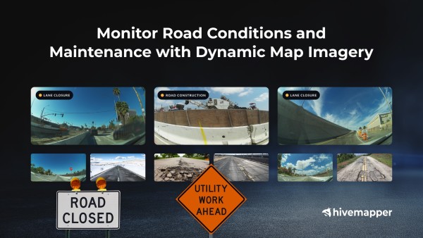
Map APIs enhance road maintenance by providing timely information on the visibility of road signs, clarity of lane markings, adherence to gradient specifications, and detect potential dangers after floods or storms. Our APIs serve as a powerful tool to evaluate road conditions and hazards. Deploy our Imagery API to identify issues like potholes, cracks, and damage, evaluate waterlogging and drainage efficiency, and prioritize maintenance based on severity and traffic volume.


Streamline Street Signs and Markings Auditing
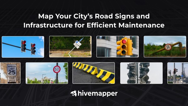
Map APIs will streamline auditing signage placement and visibility across diverse conditions, ensuring regulatory compliance. By digitizing and cataloging road signs, our APIs make tracking effortless and provide a streamlined and efficient system for managing your street infrastructure.
Elevate Billboard Management with Up-To-Date Visual Insights
Map APIs provide a real-time visual assessment of billboard placements and condition. By providing a dynamic view of the urban landscape, our APIs enable marketers to assess the visibility and relevance of their billboards, helping them optimize their advertising strategy. Additionally, our data aids in monitoring the condition of billboards, allowing for prompt maintenance in case of damage or wear. With fresh and accurate data, ad brokers can make data-driven decisions, enhance campaign performance, and maintain a consistent and impactful presence.


