Use Case
Insurance
Map APIs are a powerful tool for insurance companies across many use cases. For commercial insurance, streamlining underwriting by providing up-to-date and accurate data that aids risk assessment.
For home insurance, Bee Maps simplifies assessments by providing road quality to help determine property values and premiums. Additionally, our data enhances crash investigations, making accident scene recreation and event sequence analysis more efficient. With Bee Maps, insurers and investigators gain the insights needed for improved accuracy and client satisfaction throughout the insurance industry.
Streamline Commercial Insurance Underwriting
Commercial insurance risks are evolving, demanding better data sources. Fresh street-level imagery is a game-changer, empowering insurers to assess risk, identify accident-prone zones, and evaluate infrastructure quality with accuracy and timeliness. Our Map APIs help commercial insurance companies make more accurate risk evaluation.


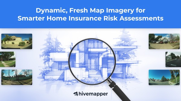
Simplify Home Insurance Assessments
Gain a competitive edge in the insurance industry with data for home insurance assessments. Bee Maps simplifies neighborhood road quality reviews that influence insurance premiums. With Bee Maps, conduct exterior condition checks to identify potential hazards like overhanging trees, poor drainage, and assess wear and tear near high-traffic zones. Our data ensures accurate, effortless home insurance assessments, leading to smarter coverage decisions and satisfied policyholders.
Enhance Crash Investigations and Accident Reporting
Up-to-date and accurate map data is an important component for crash investigations and accident reporting. It helps recreate accident scenes and helps identify possible causes like recent road changes and the dimensions of the road and sidewalk. High quality street-level imagery just before or after an accident is also invaluable for understanding the sequence of events. Accurate map data enhances crash investigations and improves accident analysis for safer roads.