The Latest Buzz
How Can Urban Planners Use Data Analytics to Improve City Infrastructure?

Urban planners increasingly rely on data analytics to inform decision-making and optimize city infrastructure. By harnessing the power of data, cities can enhance efficiency, reduce costs, and improve residents' quality of life.
What Types of Data Are Most Valuable?
Urban planners utilize various data sources to assess infrastructure needs, including traffic patterns, population demographics, and environmental data. Key Data Types include:
- Traffic Data:Helps identify congestion points and optimize traffic flow.
- Demographic Data:Informs service delivery and resource allocation.
- Environmental Data:Assesses air quality and climate impacts.
How Can Predictive Analytics Be Used?
Predictive analytics can forecast future infrastructure needs and help planners prioritize projects based on expected growth or decline in certain areas. By analyzing historical trends, cities can make more informed investment decisions. Some applications of predictive analytics are:
- Forecasting transportation demand.
- Predicting maintenance needs for infrastructure.
- Assessing the impact of urbanization on resources.
How Does GIS Technology Enhance Planning?
Geographic Information Systems (GIS) allow urban planners to visualize spatial data and make more informed decisions. GIS helps identify patterns, assess risks, and evaluate potential sites for development. Some benefits of GIS in urban planning are:
- Providing a comprehensive view of urban infrastructure.
- Enhancing collaboration between departments.
- Improving public engagement through interactive maps.
What Role Does Public Engagement Play?
Integrating data analytics into public engagement can lead to more informed community discussions. By presenting data-driven insights, urban planners can foster transparency and build trust with residents. A few public engagement strategies could be:
- Utilizing data dashboards for real-time information.
- Hosting community workshops focused on data findings.
- Creating visualizations to illustrate data impacts.
Is Visual Data Useful for Urban Planning ?
Visual data like street-view imagery can provide a rich source of data, especially when it's recent and from a consistent source, that urban planners can use to identify road conditions, traffic patterns, and pedestrian behavior amongst other things.
When combined with other types of data, it can inform decisions for optimizing infrastructure, reducing congestion, and improving safety.
How we Can Help
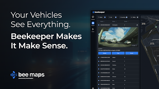
Bee Maps, powered by Hivemapper, can provide a source of consistent up-to-date visuals of city streets and road features to equip your planning department with. This visual data source can significantly upgrade your ability to monitor infrastructure and public spaces for smarter planning, maintenance, and compliance.
Share Post


