The Latest Buzz
What is the Role of Mobile Mapping in Urban Development?

What is mobile mapping?
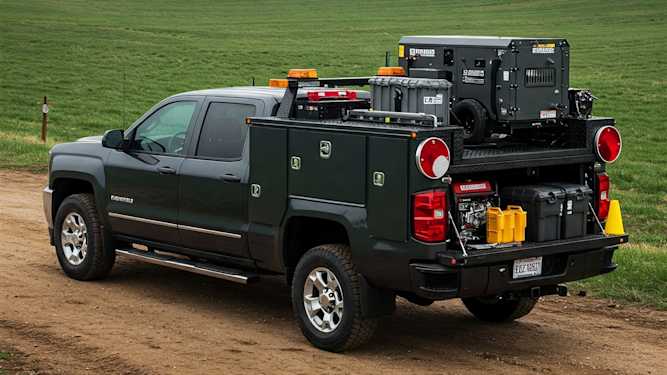
Mobile mapping refers to the collection of geospatial data using a vehicle equipped with different mixes of sensors, cameras, LiDAR, and GPS and or GIS. This technology captures high-resolution data while moving through urban environments, making it ideal for detailed mapping projects.
How Does It Work?
These mapping systems are mounted on vehicles, such as cars or drones, to capture images and spatial data in real time. The collected data is then processed to create detailed maps that reflect the current state of streets, buildings, and infrastructure.
What are the Key Technologies?
Mobile mapping relies on LiDAR for capturing precise 3D measurements, GPS for accurate location data, and high-resolution cameras for visual documentation. These technologies work together to provide a comprehensive view of urban spaces.
How does mobile mapping support urban development?
Mobile mapping plays provides accurate, up-to-date geo-data that supports planning and infrastructure projects.
- Infrastructure Assessment:Mobile mapping enables cities to quickly assess the condition of roads, bridges, and public spaces. This information helps prioritize maintenance and repair work, ensuring that infrastructure remains safe and functional.
- Urban Planning:Detailed data from mobile mapping assists planners in understanding the layout and needs of urban areas. It enables the design of efficient transportation networks, proper zoning, and the integration of new developments into existing city structures.
- 3D City Models:Mobile mapping provides data for creating 3D models of urban areas, which are used for planning new buildings, visualizing projects, and assessing the impact of proposed developments on the cityscape.
What are the benefits of using mobile mapping for urban development?
Implementing mobile mapping in urban development projects offers numerous advantages for city planners and developers.
- Up-to-Date Data:Mobile mapping provides real-time, high-resolution data, allowing planners to work with the most current information available. This ensures that decisions are based on accurate representations of urban environments.
- Cost-Effective Mapping:Compared to traditional surveying methods, mobile mapping is more efficient and cost-effective. It covers large areas quickly, reducing the time and labor required for data collection.
- Enhanced Visualization:Mobile mapping data can be used to create detailed maps and 3D models, offering better visualization of urban areas. This helps stakeholders understand the spatial relationships within a city, making it easier to plan and implement projects.
How is the data used in urban development projects?
Mobile mapping data is used in various stages of urban development, from initial planning to monitoring assets for ongoing maintenance.
- Planning New Roads and Transportation Systems:Mobile mapping data helps design new roads, bike lanes, and public transport routes by providing detailed insights into existing infrastructure and traffic patterns. This ensures that new transportation systems are seamlessly integrated into the city.
- Monitoring Construction Progress:During construction, mobile mapping allows developers to monitor progress and ensure that projects adhere to plans and timelines. This reduces the likelihood of delays and helps maintain project budgets.
- Public Safety Applications:Mobile mapping aids in updating maps for emergency response services, ensuring that they have accurate information on road layouts and building locations. This helps in providing faster response times during emergencies.
What challenges exist in urban development?
While mobile mapping offers many benefits, it also comes with some challenges that need to be addressed.
- It requires managing lots of data.The large volumes of data collected by these mapping systems require efficient storage, processing, and management. Planners must have the necessary infrastructure to handle this data effectively.
- Privacy needs to be taken into consideration:Since mobile mapping involves capturing images and data from public spaces, it can raise privacy concerns among residents. Clear guidelines and regulations are needed to address these issues and ensure data is used responsibly.
Do you need to collect continuous high-quality, street-level imagery?
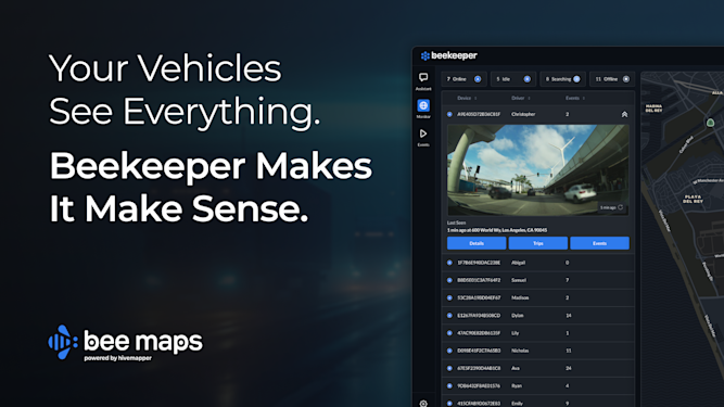
Put a our global network of mobile mapping drivers to work, and monitor the road segments that matter to your urban development project. Bee Maps, powered by Hivemapper, provides accurate, up-to-date map features data and street-view imagery with geo-located metadata.
Contact us today to learn how we can help shape the future of your city!
FAQs
Q: How is mobile mapping different from mobile phone mapping?
A: Mobile phone mapping is done using smart phones and while sometimes mapping street-views it is usually used for sidewalks, pedestrian paths and other places you wouldn't find cars. Imagery datasets from mobile phone mapping is often taken from many different devices at many different angles.
Q: Can it be used for environmental monitoring in cities?
A: Yes, it helps track conditions like air quality and vegetation, supporting urban sustainability.
Q: What types of vehicles are used?
A: Mobile mapping systems can be mounted on cars, drones, or even bicycles, depending on the area and project.
Q: How often should mapping data be updated for urban planning?
A: Fast-growing cities may need updates every 3 to 6 months to ensure data accuracy.
Q:Is mobile mapping suitable for mapping rural areas?
A: Yes, it can map remote locations, providing accurate data for rural infrastructure projects.
Share Post


