The Latest Buzz
The Evolution of Mapping for Autonomous Vehicles

The Evolution of Mapping for Autonomous Vehicles
The quest for fully autonomous vehicles (AVs) has significantly transformed the automotive industry. At the heart of this transformation lies mapping technology, which has evolved dramatically over the past few decades. Accurate and reliable maps are essential for AVs to navigate safely and efficiently.
This article explores the evolution of mapping for autonomous vehicles, from basic navigational tools to advanced, real-time mapping systems that enable safe driving in complex environments.
The Early Days Basic Navigation Systems
In the early days of navigation technology, vehicles relied on basic GPS systems. While GPS provided accurate location data, it lacked the detailed mapping features needed for autonomous driving. These early systems were primarily designed for human drivers, offering turn-by-turn directions without accounting for dynamic road conditions or real-time traffic data.
Limitations of Early GPS
Basic GPS systems offered limited information about road conditions, obstacles, and changes in traffic patterns.
This made them insufficient for the nuanced requirements of AV navigation.
Static Maps
Static data that quickly became outdated was used to create the earliest versions, leading to navigation errors and potential safety issues.
For example,
changes in road configurations, construction zones, or new traffic signals could render the maps inaccurate.
The Introduction of Digital Maps
As technology progressed and digital maps emerged, a more flexible and dynamic mapping solution was provided. Digital maps use real-time data, allowing for better navigation and situational awareness.
Real-Time Updates
With real-time or continuous updates, digital maps can be updated more frequently, incorporating new road layouts, traffic signals, and other recent data.
This increases accuracy and improved the driving experience.
Enhanced Data Layers
With the advent of digital mapping, additional layers of information could be included, such as points of interest (POIs), traffic patterns, and road conditions. This allowed drivers to make informed decisions based on their surroundings.
The Role of LiDAR and 3D Mapping As the demand for autonomous vehicles grew, so did the need for more sophisticated mapping technologies. LiDAR (Light Detection and Ranging) technology emerged as a crucial tool for creating detailed 3D maps of environments.
- Creating 3D Maps LiDAR uses laser pulses to measure distances to surrounding objects, creating highly accurate spatial representations of the environment. This data is essential for AVs to detect obstacles, assess distances, and navigate safely.
- Real-Time Environmental Awareness 3D mapping helps AVs respond to their surroundings and plan their routes. This capability is critical for safe navigation in complex urban environments.
Advancements in Machine Learning and AI
The integration of machine learning and artificial intelligence (AI) has advanced mapping for autonomous vehicles. These technologies enable AVs to analyze vast amounts of data and make real-time decisions based on their surroundings.
- Predictive Analytics AI algorithms can analyze historical data and predict future traffic patterns, allowing AVs to optimize their routes and avoid congestion. This is particularly important in busy urban settings where traffic conditions change rapidly.
- Enhanced Object Detection Machine learning models improve object detection capabilities, improving AV's ability to recognize pedestrians, cyclists, and other vehicles. This enhances safety and enables AVs to navigate more effectively.
The Rise of Cloud-Based Mapping Solutions
Cloud-based mapping technologies have transformed how mapping data is stored, shared, and updated. This approach allows AVs to access real-time mapping information, ensuring they operate with the most current data available.
- Real-Time Data Sharing Cloud-based solutions aggregate data from multiple vehicles, allowing for collective learning and improving the accuracy of maps over time. This real-time data sharing helps AVs adapt to changing road conditions and enhances overall safety.
- Dynamic Mapping Cloud technology facilitates dynamic mapping, where vehicles can update their maps in real-time as they encounter new features. This is crucial for maintaining accuracy in fast-paced urban areas.
Future Directions in Autonomous Vehicle Mapping
The evolution of mapping for autonomous vehicles is far from over. As technology advances, we can expect even more sophisticated mapping solutions.
Emerging technologies such as augmented reality (AR) may soon enhance the navigation experience by overlaying useful information onto the driver’s view of the road.
Integration with Smart Cities
Future mapping solutions will likely integrate with smart city infrastructure, providing AVs with access to real-time information about traffic signals, construction zones, and pedestrian activity. This integration will further enhance safety and efficiency.
Continual Learning
As autonomous vehicles collect more data on their journeys, machine learning algorithms will continue to improve, enabling vehicles to learn from their experiences and adapt to new challenges.
The evolution of mapping for autonomous vehicles has come a long way from basic GPS systems to sophisticated, real-time mapping technologies that leverage AI, LiDAR, and cloud computing. As the industry moves forward, new map solutions surface and improve the safety and efficiency of autonomous vehicles even further.
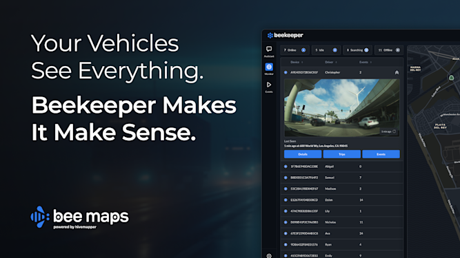
Bee Maps, powered by Hivemapper, is a cutting-edge provider of updated street-level map data that can help developers optimize sensor data for autonomous vehicle development.
Discover how our real-time data can support the future of autonomous vehicle navigation!
Share Post


