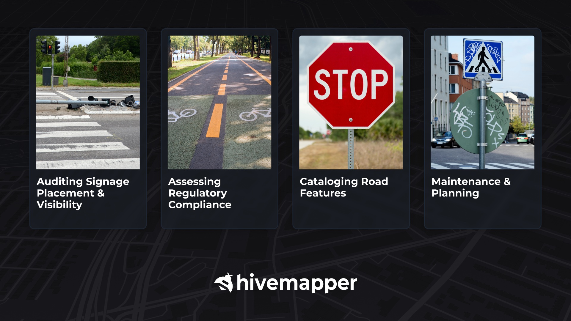
Hivemapper APIs support smart urban management, helping cities effectively maintain and plan road signage and other assets.
Maintaining urban infrastructure is a persistent challenge for municipal leaders and planners. As cities grow and evolve, the task of cataloging and evaluating assets like road signs and traffic lights can be daunting. City administrators need to ensure, for example, that each sign is in compliance with regulations and in good repair. But traditional manual surveys are time-consuming, and quickly become outdated.
Hivemapper can efficiently catalog this infrastructure from crowdsourced mapping data, providing an innovative solution for urban planning and management. Its contributor network of everyday drivers uses dedicated dashcams to collect high-resolution street-level imagery from which Map AI extracts objects and insights.
Map customers easily integrate this data into their systems using Hivemapper’s Map Features API, which provides a detailed inventory of road objects, such as stop signs, speed limits, and traffic lights. Using our Map Image API, map customers can query images captured during different times, seasons, and weather, enabling planners to assess signs and road assets in various conditions.
Visit our product page and contact sales to learn more. To get started, generate an API key. Our map data pipeline classifies, positions, merges, and audits objects to produce richly detailed, high-fidelity map coverage, delivering powerful benefits to city administrators.

Auditing Signage Placement and Visibility
City officials can perform comprehensive audits of signage placement, ensuring that signs are correctly positioned for optimal effectiveness. They can also assess the visibility and legibility of signs during different times of day and weather conditions, identifying problem areas where signs may be obscured by foliage or otherwise difficult to see. Such audits ensure that signs are effective under all circumstances, enhancing road safety.
Assessing Regulatory Compliance
With integrated object recognition and geospatial mapping, traffic signs, lane markings, curb ramps, crosswalks, and other road infrastructure can be programmatically detected and checked against municipal codes. For example, cities have precise regulations regarding the placement and specifications of street signs, such as mounting height standards. Detailed map data can also help validate signage size and location, as well as spot unauthorized/improperly changed signs and road assets.
Cataloging Road Features
Hivemapper can efficiently digitize and catalog road features like signs and traffic lights across cities, eliminating the need for manual surveys. Physical sign inventories can be transformed into actionable geospatial datasets. This can equip municipal governments with a searchable database of all street signs, for example, making it easier for them to track, maintain, and update them. The data can be integrated into city planning and management systems, supporting coordinated efforts across different departments, like road maintenance, urban planning, and emergency services.
Maintenance and Planning
Identifying worn-out or vandalized signs can support timely maintenance. A detailed digital inventory can also provide insights for positioning new signs in developing areas, or modifying existing signs in response to changing needs. For example, combining a city’s database of road features with an analysis of traffic flow and congestion points can help planners optimize signage and traffic light placement.
Hivemapper offers a comprehensive and dynamic solution for municipal governments and city planners, giving them an innovative means of inventorying and managing their city’s street signs, traffic lights, curb cuts, and more.
Equipped with a wealth of up-to-date, accurate road data, local administrators can significantly upgrade their infrastructure databases for smarter planning, maintenance, and compliance — making their cities safer and more navigable.**
Follow us on X or Try Bee Maps for Free.

