Hivemapper offers real estate professionals advanced insights to accurately evaluate properties and local real estate markets.
For decades, real estate investors have relied on traditional methods of gaining a comprehensive picture of a given property’s condition and its surrounding environment. These methods, while useful, are no longer enough for professionals to stay ahead in an increasingly data-driven market. They often lack the granularity and dynamism needed to accurately assess the true potential of a property. Investors need access to fresh, detailed information to make informed decisions.
Having mapped over 90 million total road kilometers and collected 4 billion street-level images in just its first year, the Hivemapper Network presents a unique opportunity for real estate professionals to unlock next-level analysis and gain a competitive advantage. With a mapping network powered by everyday drivers generating dynamic street-level imagery and AI-processed map features, Hivemapper’s map data products provide rich local insights to support better property assessments.
The Map Image API offers a standardized, high-resolution view of properties and neighborhoods. This stream of updated imagery gives investors the ability to remotely and thoroughly evaluate properties as well as the surrounding environment, businesses, and infrastructure for factors that can influence property values, including the type and condition of roads and the presence of bike lanes and pedestrian crossings.
Real estate professionals can closely track specific properties or neighborhoods with Scout, a location monitoring tool powered by the Map Image API. Scout sends them real-time alerts whenever new imagery is captured. If a particular area lacks data or is seeing rapid development, they can also use the Bursts feature to set bounties to incentivize map contributors to capture up-to-date imagery of specific locations.
Visit our product page and contact sales to learn more. To get started, generate an API key. By leveraging Hivemapper’s data and capabilities, real estate professionals can gain a nuanced understanding of the markets they operate in, leading to more strategic investment decisions.

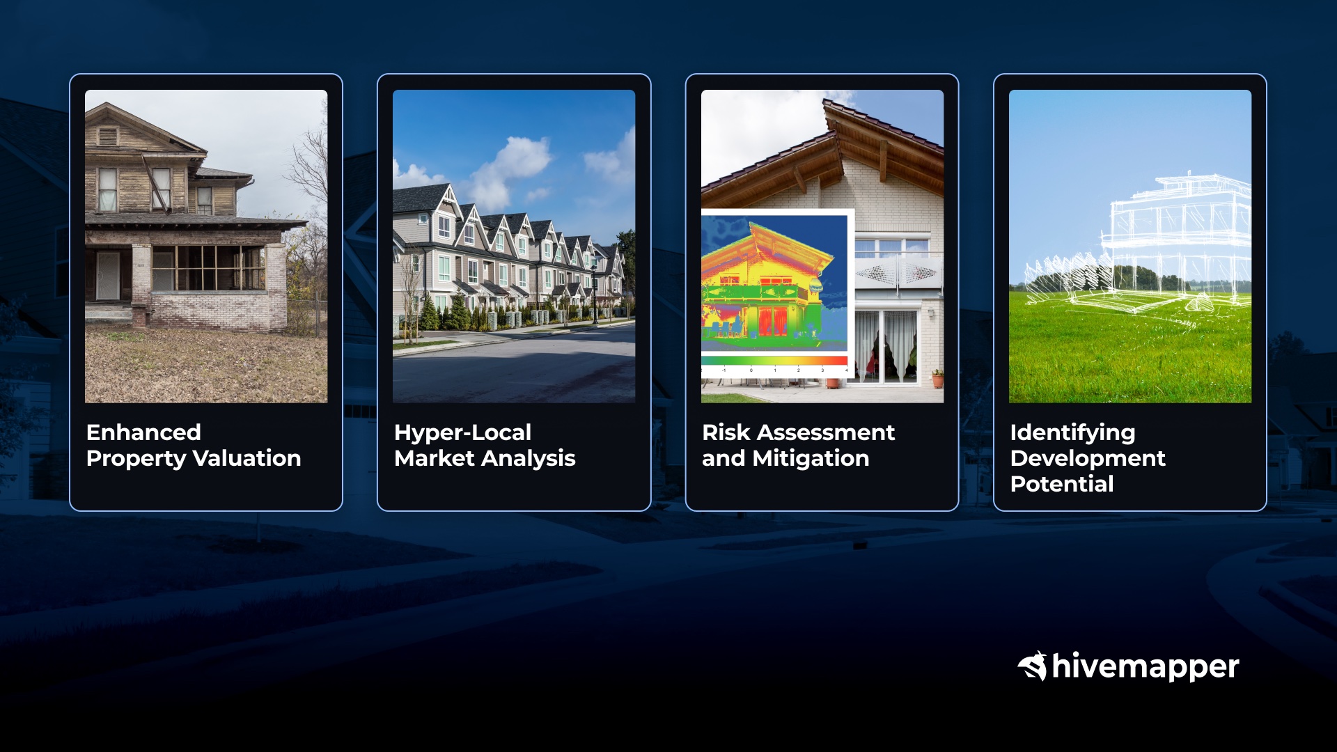
Enhanced Property Valuation
- Beyond basic metrics like square footage and location, the Map Image API can provide a detailed view of a property’s external condition without the need for an on-site visit. This enables real estate investors to conduct virtual inspections using up-to-date, high-resolution imagery.
- Investors can detect signs of wear and tear such as damaged roofs, deteriorating paint, or structural issues visible from the street. These visual cues are crucial in determining a property’s maintenance needs and associated risks, enhancing the overall evaluation process.
Hyper-local Market Analysis
- Traditional property evaluation often relies on static data and broad market trends. Hivemapper’s dynamic imagery and extracted features allow for hyper-local analysis, enriching property valuation by incorporating factors such as neighborhood dynamics, the quality of local infrastructure, and proximity to schools, parks, and medical facilities.
- This data-driven approach allows investors to assess not just individual properties but also the overall neighborhood quality. It can help investors identify undervalued properties that are well positioned, potentially uncovering hidden gems before competitors do.
Risk Assessment and Mitigation
- Real-estate investment comes with risks. Hivemapper data can help mitigate these risks by providing insights into potential hazards. Visual data can reveal patterns like poor drainage that indicate flood risk, or close proximity to dense vegetation that might heighten structural dangers. It can also clarify a property’s exposure to road hazards.
- Hivemapper’s comprehensive visual data provides a broader perspective on neighborhood dynamics and potential risks. Visual cues such as the state of neighboring properties, the presence of abandoned buildings, or signs of neighborhood neglect can be indicators of risks and investment viability, reducing the need for physical site visits.
Identifying Development Potential
- Hivemapper’s data insights can be instrumental in identifying prime locations for new developments. By analyzing factors like the expansion of traffic infrastructure, the growth of new commercial zones, and shifts in service availability, investors can pinpoint locations that are likely to experience increased demand and value appreciation in the future.
- Hivemapper’s historical imagery and data insights can be used to track the evolution of neighborhoods and identify areas experiencing rapid growth or revitalization, allowing investors to anticipate future trends and capitalize on new opportunities.
By integrating Hivemapper’s data and capabilities into their analysis and systems, real estate investors and professionals can transcend traditional limitations, leveraging dynamic insights to make more rewarding investment decisions.
It can be difficult to find a decisive edge in the real-estate market. A data-driven approach with Hivemapper can better foster informed decision-making and optimize investment strategies while unlocking unprecedented potential for success.**
Follow us on X or Try Bee Maps for Free.

